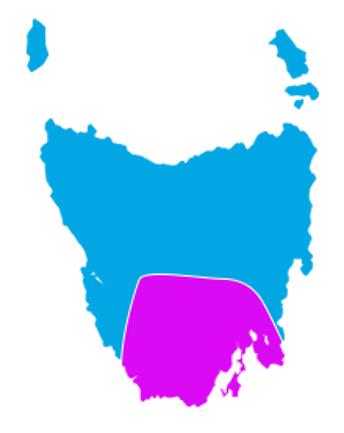
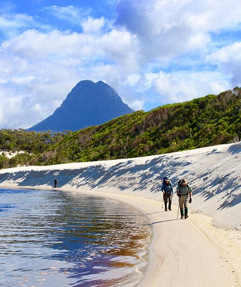
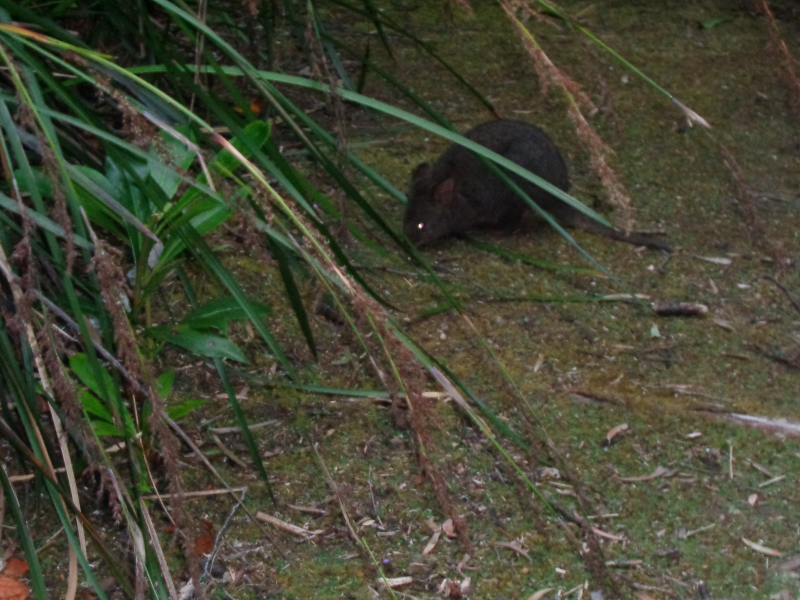
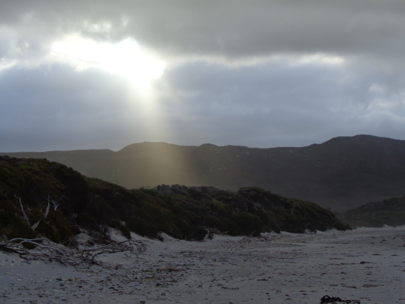
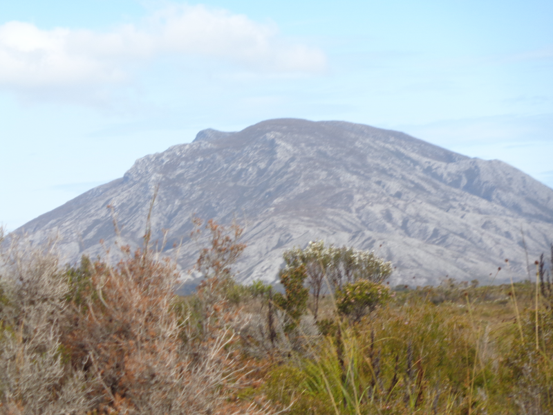
The South Coast Track in Tasmania, Australia, is understandably one of Tasmania’s premier wilderness walks. Our South Coast Track Tasmania tour commences in the World Heritage Area at Melaleuca and takes you 85km across rugged mountain ranges, coastal heathland and vast pristine beaches. There are no roads to Melaleuca, so hikers must fly in to begin the walk.
Depending on your timetable, we recommend taking between 8 – 9 days to complete the track. It covers some of the most untouched and remarkable wilderness found anywhere in Australia. You will need considerable planning, experience and equipment, and you should be familiar with Tasmania’s wilderness walking conditions before you start hiking Tasmania’s South Coast Track. It is recommended that the track is walked during the summer months, and our South Coast Track Tasmania tours are available from December to May only.
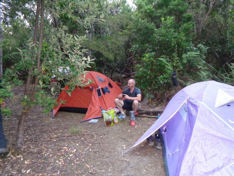
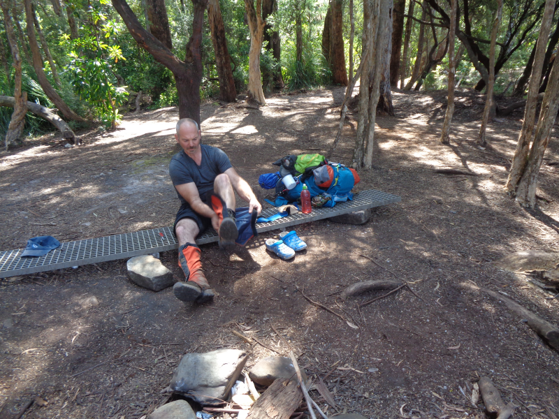
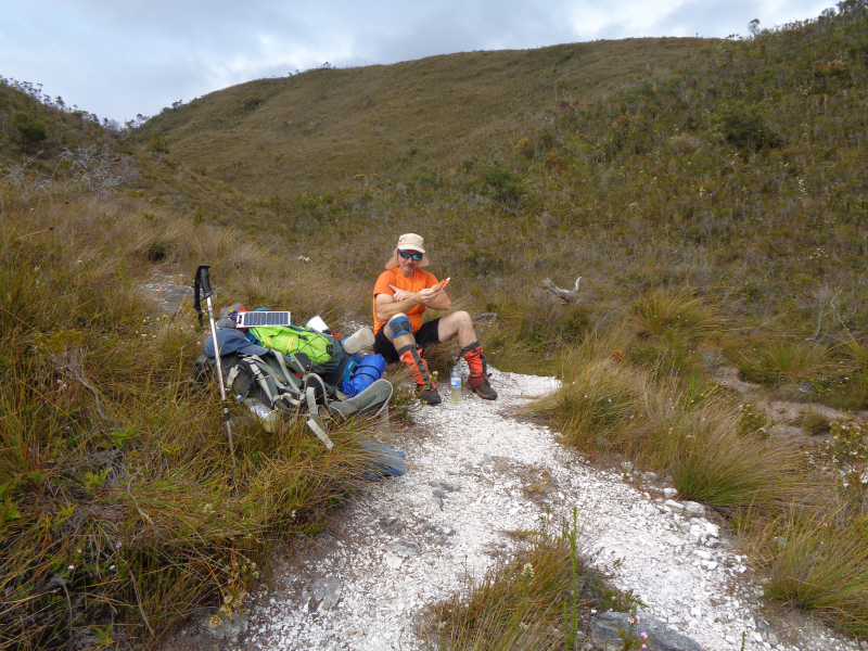
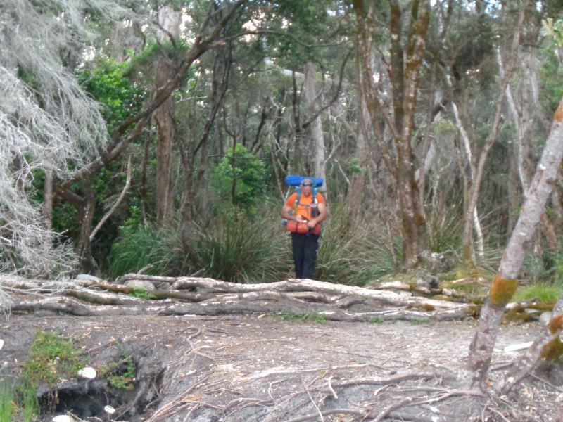
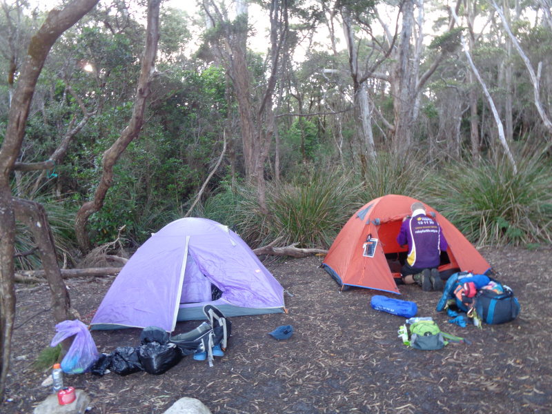
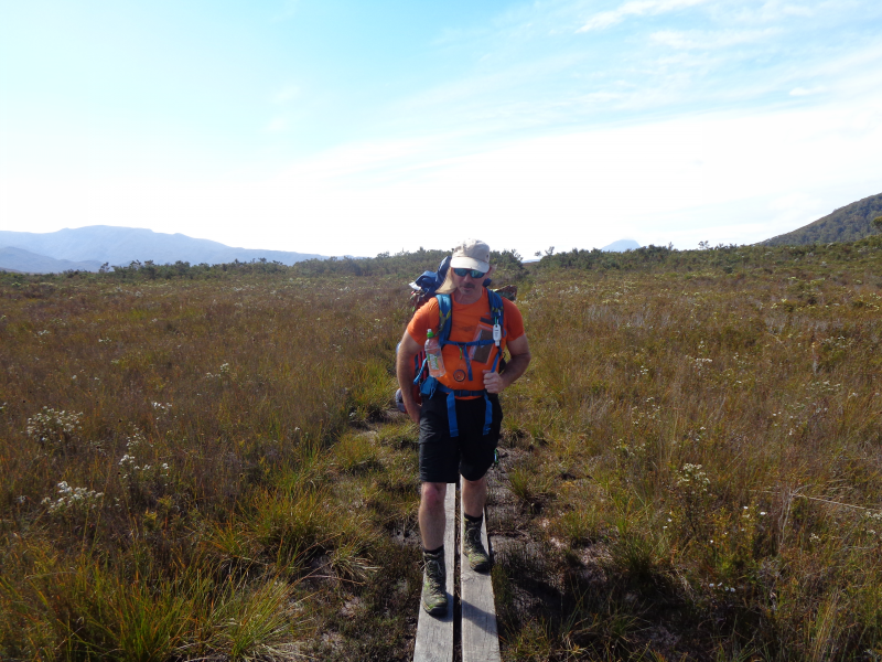
This is a guided tour only. You will need to carry all your own packs, tent, sleeping gear, food, cooking facilities and so on. The group leader also carries a satellite phone in case of any emergencies.
A recommended gear list can be obtained upon request. We supply an 80L back pack and a lightweight 2 person tent to sleep yourself and have room for your gear. If you wish to bring your own back pack and/or tent, make sure the back pack has sufficient capacity (75L or more), and make sure the tent is lightweight (around 2kg). This walk is not for the faint hearted!
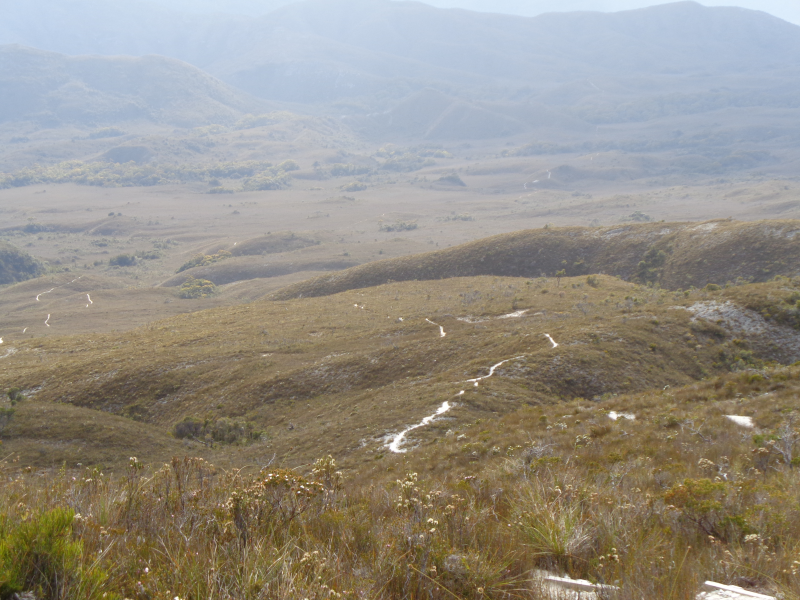
To get a bird’s eye view of the walk, just click on the link below and you will get some idea of the terrain involved with hiking Tasmania’s South Coast Track!
Due to Melaleuca’s remote location, the beginning of the South Coast Track can only be accessed by plane. Par Avion offer light plane flights from just outside of Hobart at Cambridge. Pick up at Cockle Creek also can be arranged for travel return to Hobart by commuter bus.
The Trail
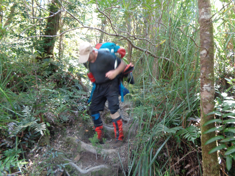
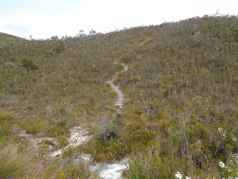
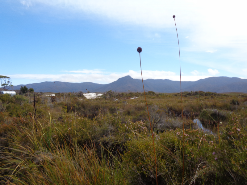
Although the majority of the track is well constructed and easily navigated, there are some sections of difficulty (especially in relation to traversing mud). Our South Coast Track Tasmania guided walk is a wilderness experience, so all walkers must be fully self-sufficient and have suitable experience in the Tasmanian bush. There are no hut facilities between Melaleuca and Cockle Creek. Time requirements for the South Coast Track differ greatly depending on fitness levels and time spent relaxing.
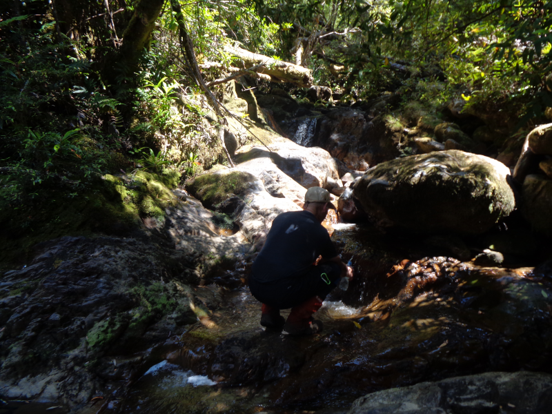
The Southwest National Park is a fuel stove only area. Cooking fuels are not allowed on the flight to Melaleuca and must be purchased from Par Avion once at Melaleuca. Be sure to arrange this before taking off. Water is easily found on each day’s hike, but be sure to always carry enough in case of an emergency.
Book a Tasmania Tour Today
Want to go hiking on Tasmania’s South Coast Track? Wild Trek Tours can take you on a comprehensive South Coast Track Tasmania guided walk where you can take in everything this beautiful region has to offer.
Transport from Cambridge Airport (Hobart) via Par Avion to Melaleuca
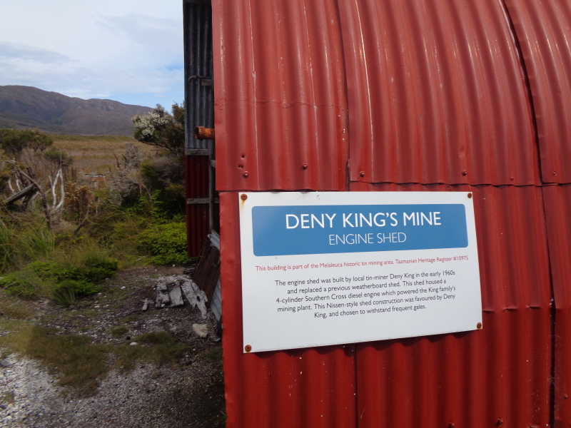
The journey onto the South Coast Track begins with a view of the rugged Southwest wilderness from the window of your light plane trip to Melaleuca. From this introduction, you quickly get a sense of the areas remote nature. We will stay the night at Melaleuca where you can explore the Denny King museum, take a boardwalk stroll to the Melaleuca Inlet to Bathurst Harbour, look at the old tin mine remnants, view the endangered Orange Bellied Parrot nesting areas, and generally soak in the atmosphere of this remote wilderness.
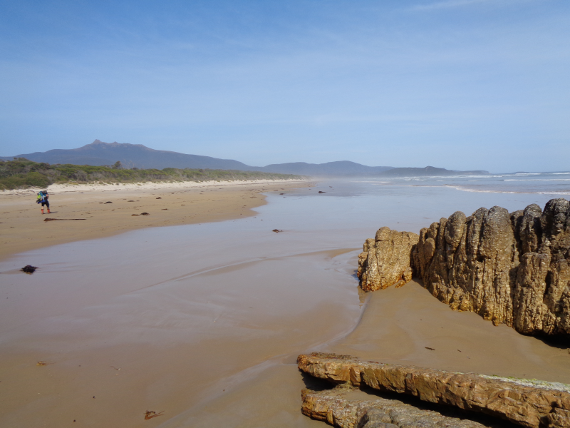
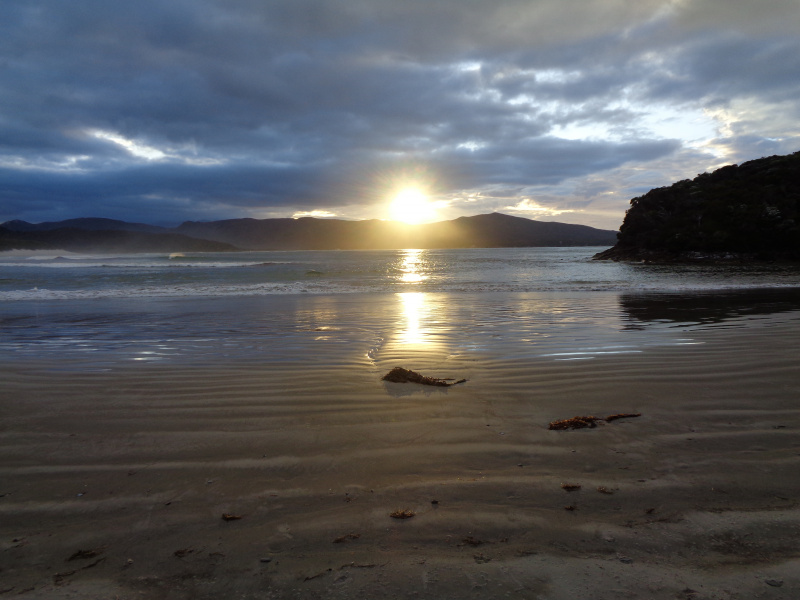
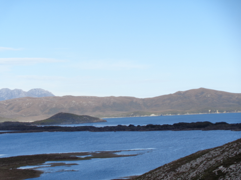
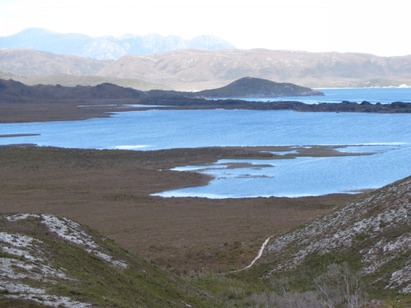
Our first night’s stop will be at Point Eric beyond Cox Bight 13km away.
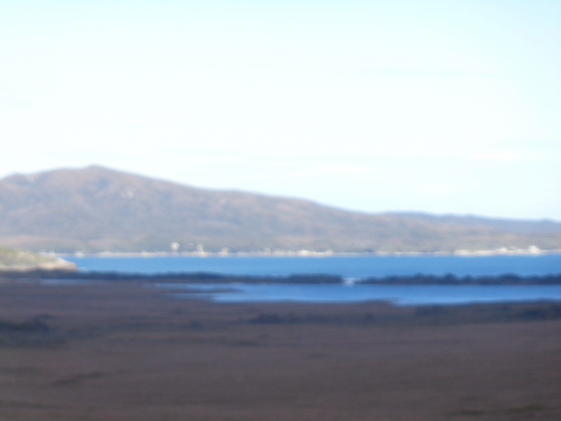
Trail conditions throughout the first day are the best of the entire track and walking is easy aside from a few wet patches. For the first three hours, the trail weaves across the undulating hills beside the New Harbour Range. As you approach Cox Bight the first sign of water comes from Freney Lagoon, a large lagoon set back behind the Cox Bight Beach.
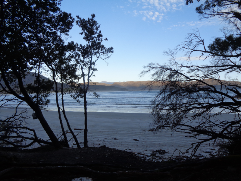
Once on the coast, the trail continues for another 2km to the sheltered cove of Point Eric where the first camp can be made. After an easy day’s walking, this is an idyllic spot set right on the edge of the pristine beach.
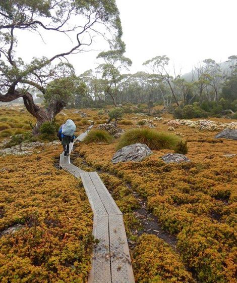
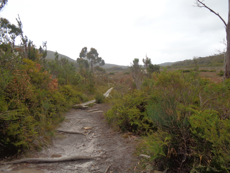
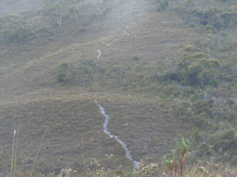
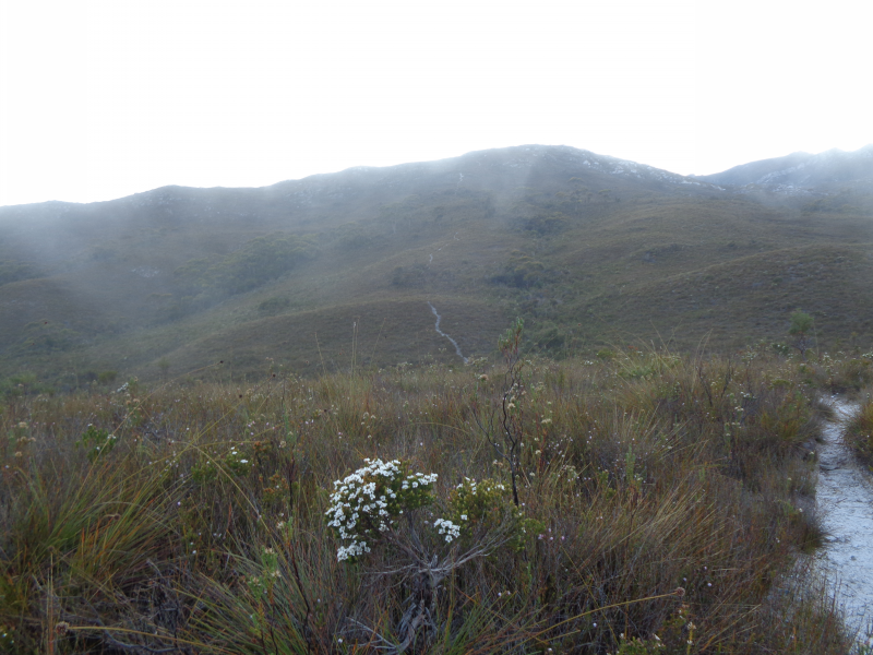
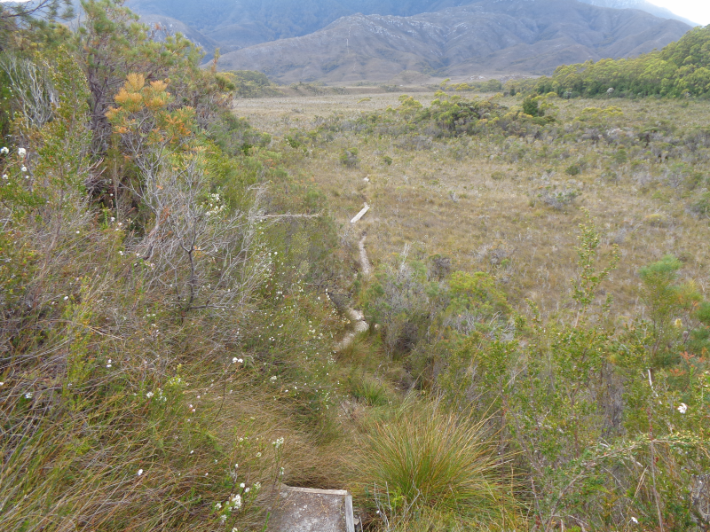
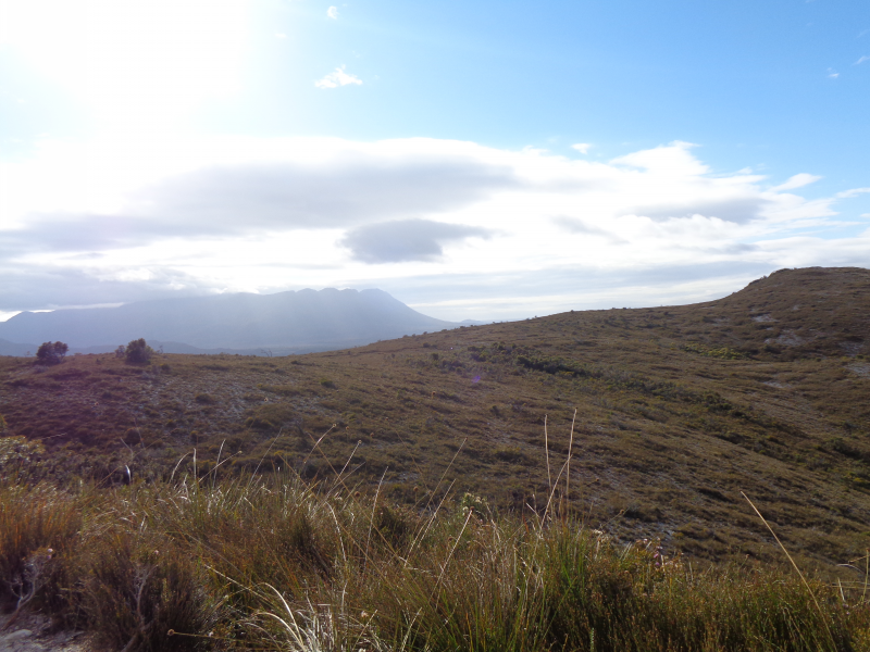
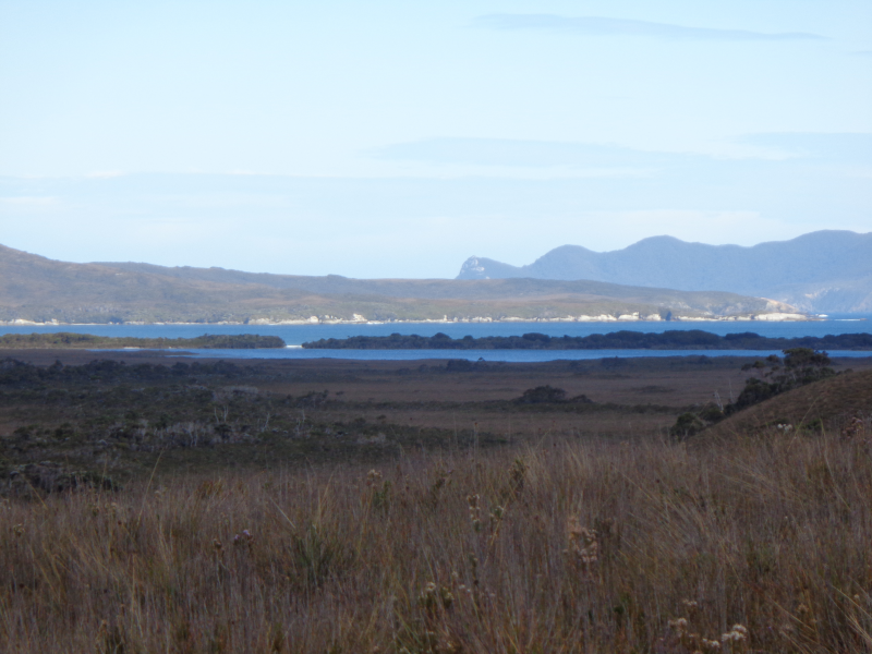
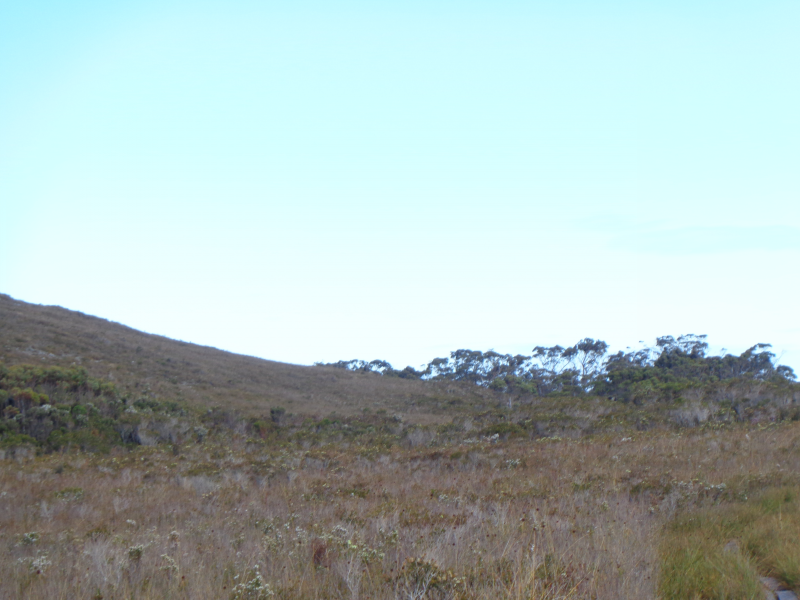
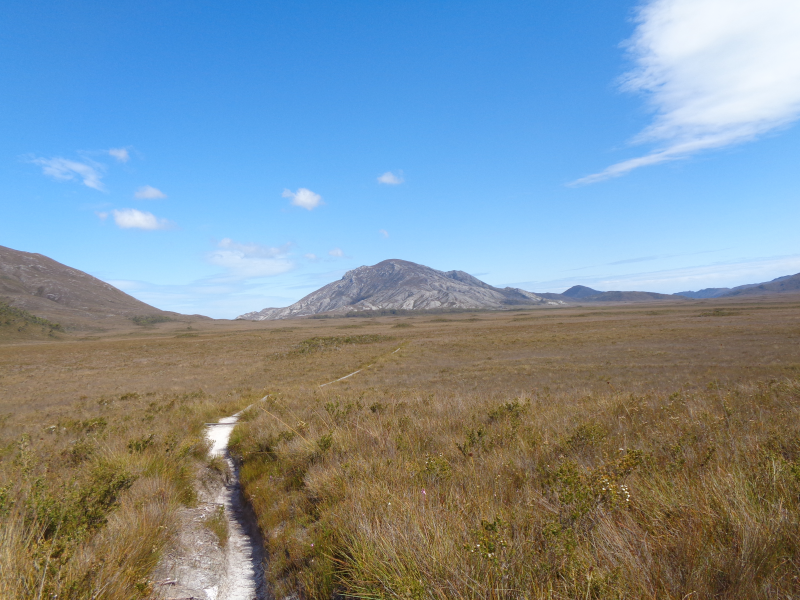
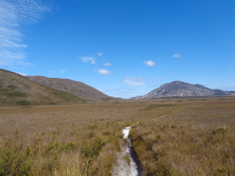
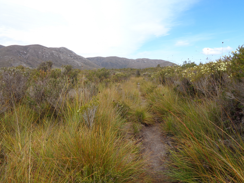
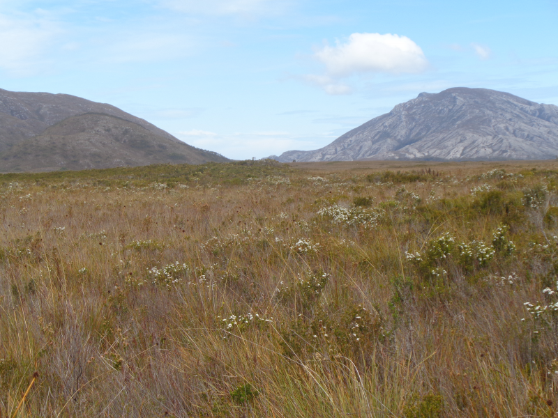
Leaving Point Eric the track continues along the beach and skirts below Black Cliffs. After another short beach walk, Buoy Creek and the adjacent campground are passed and the trail heads inland towards Red Point Hills. For the next 4km the trail crosses muddy button grass plains before eventually climbing and descending over Red Point Hills. In the distance, the ever-present form of the Ironbound Ranges is clearly visible. At the bottom of the hills, the track crosses Faraway Creek and provides a suitable spot to replenish your water.
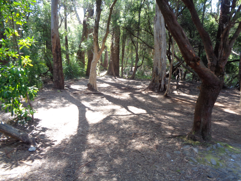
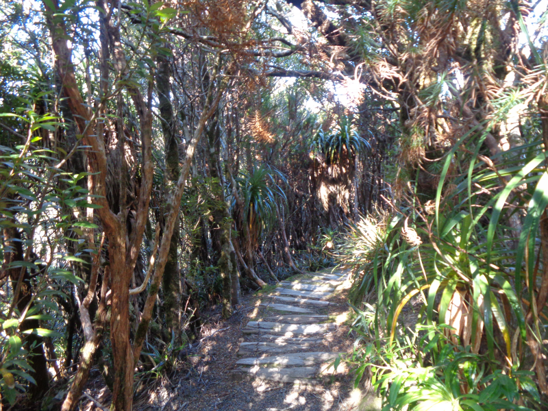
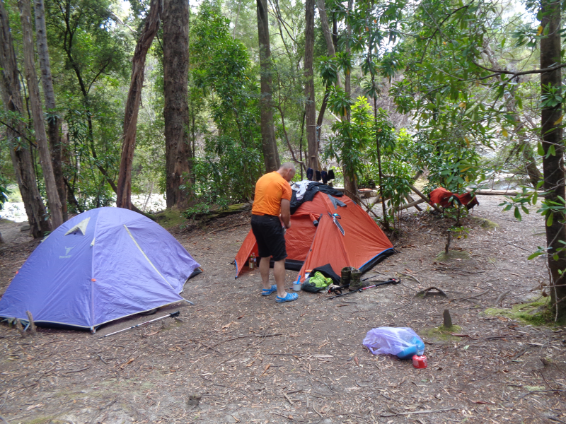
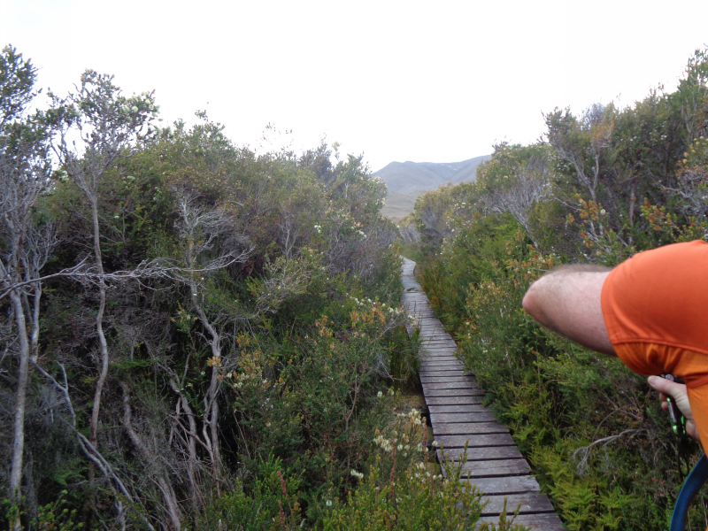
The track then continues below Spica Hills, crossing Louisa Plains via another muddy boardwalk section. The trail then enters lovely forest canopy surrounding Louisa Creek and our campsite for the night.
Louisa Creek to Louisa River (via Louisa Bay) 12.5km, 6 hours
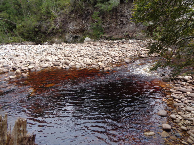
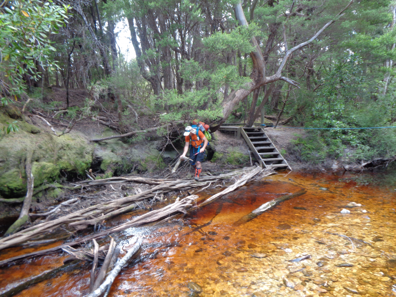
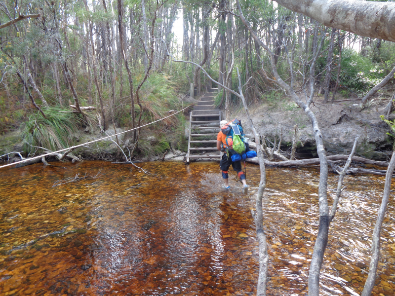
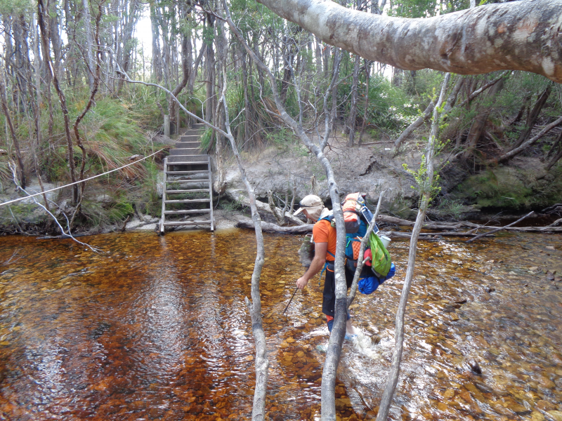
A 2 km walk to the turnoff to Louisa Bay. We walk 3km to the beautiful bay where we have a lunchbreak. Time for a swim if weather ok, then back to the main track on onwards to Louisa River. In good weather, the river is easy to cross with the assistance of a guide rope. The campsite is nestled amongst the temperate rainforest canopy.
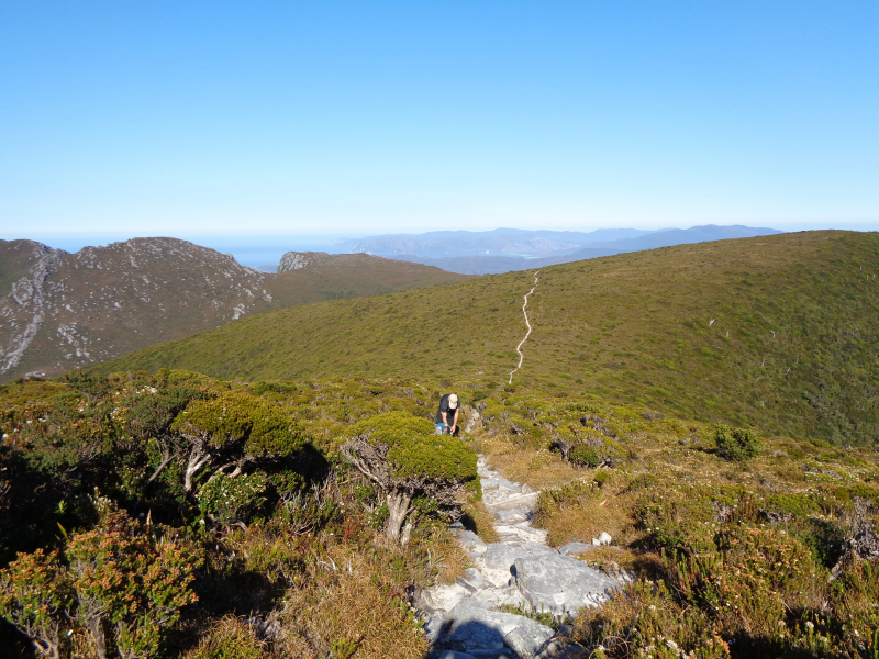
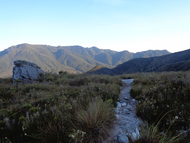
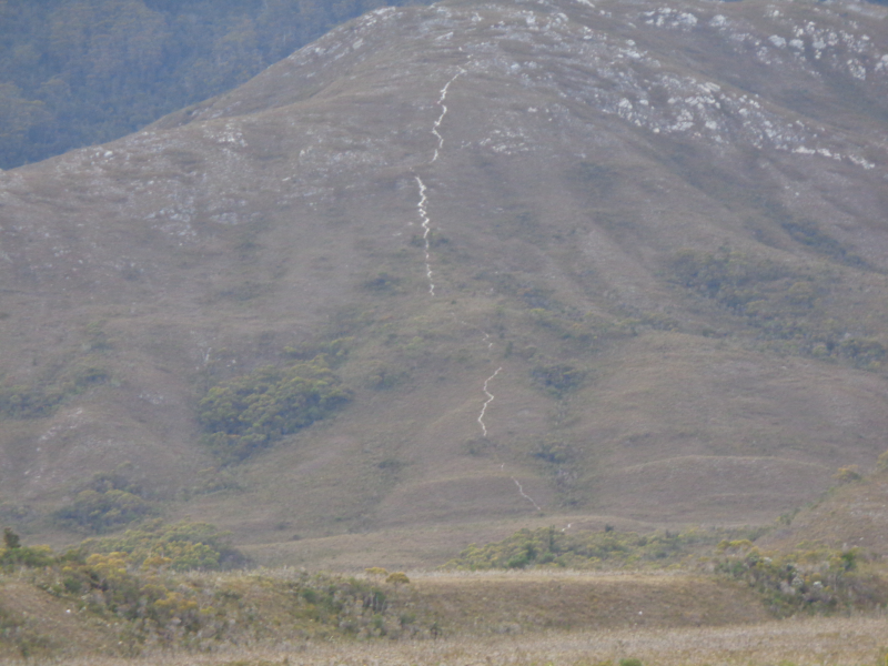
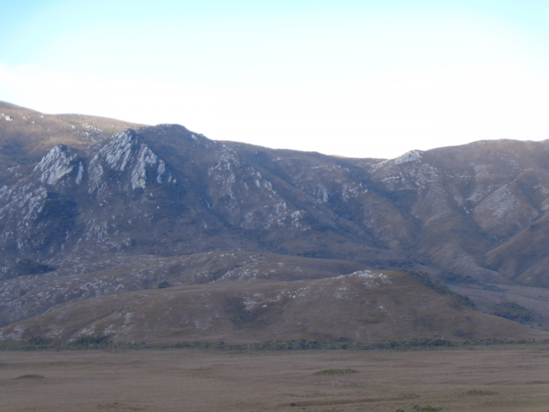
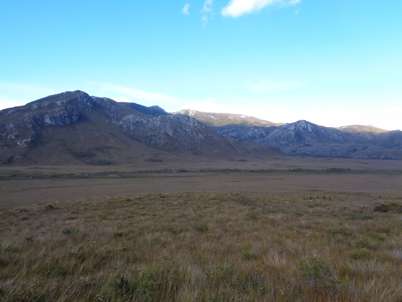
Day 4 begins with the most challenging climb of the South Coast Track, the Ironbound Range 905 metres above sea level. The climb isn’t particularly hard thanks to the well-constructed steps. However, it can be extremely tiring and wild weather including snow and high winds may hinder your journey nearing the summit.
Leaving Louisa River, the Ironbound is the first challenge of the day as we make our way to Little Deadmans Bay. The first few hours of the walk are spent passing the foothills and slowly ascending on quartzite ridges. As you continue, many false summits leave you with a sense of frustration – the journey seems to go on and on!
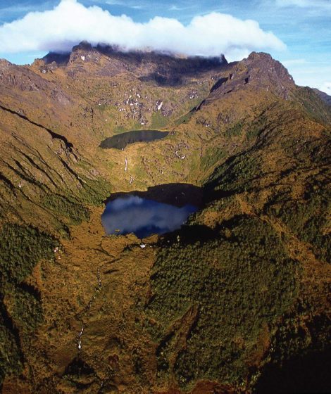
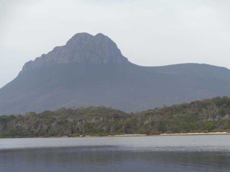
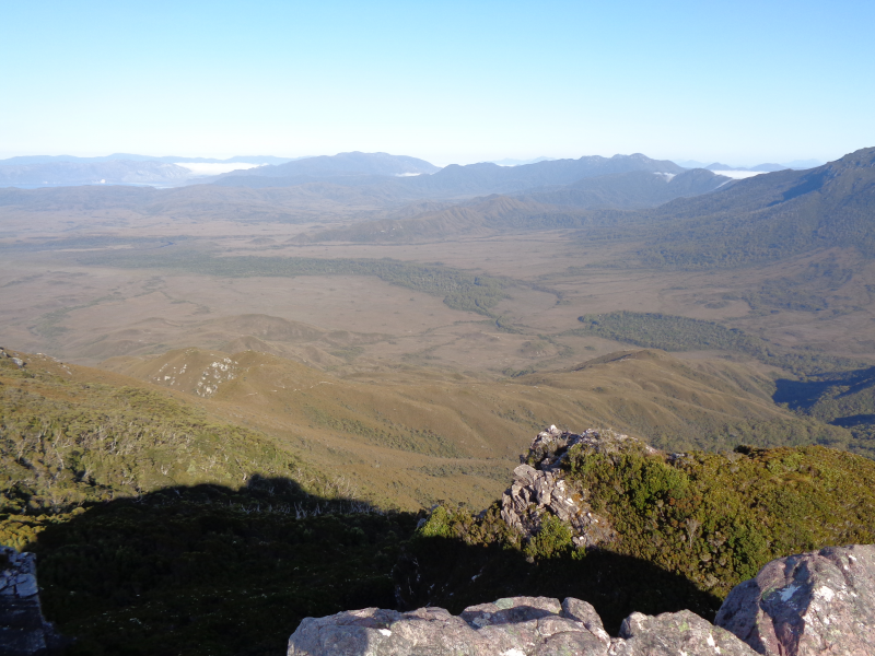
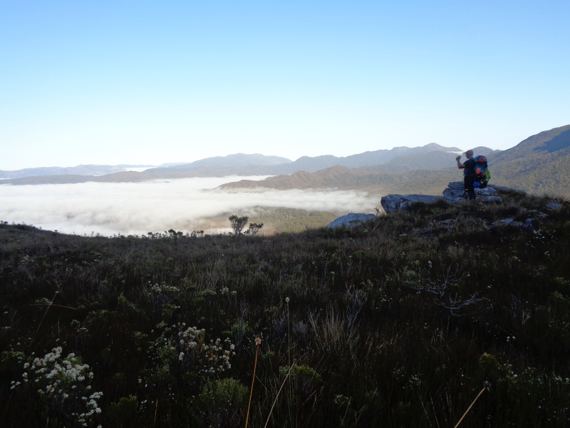
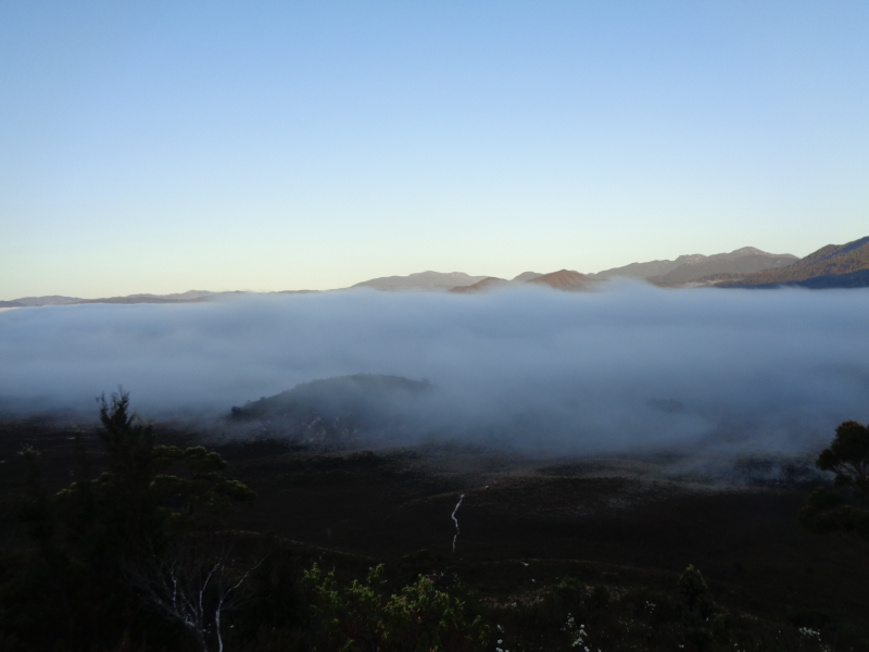
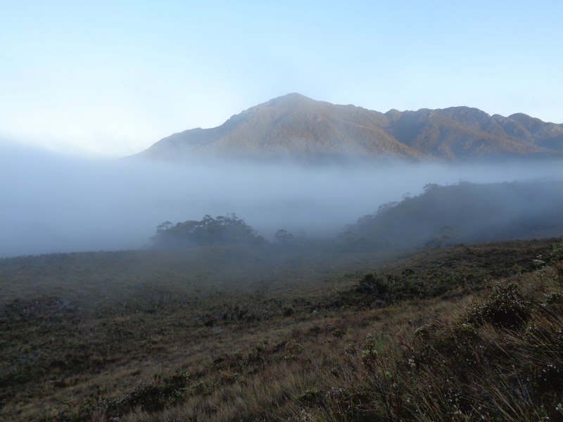
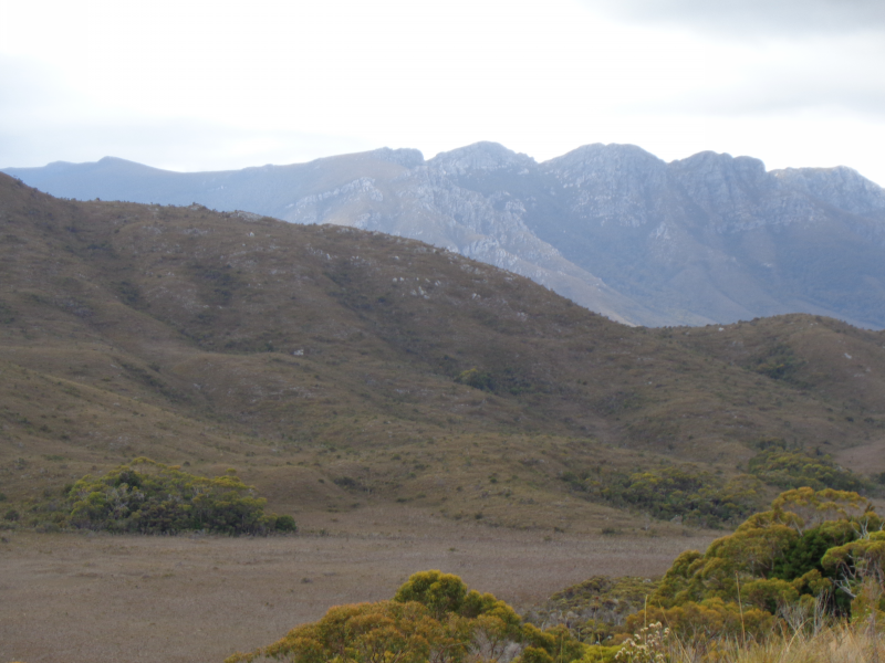
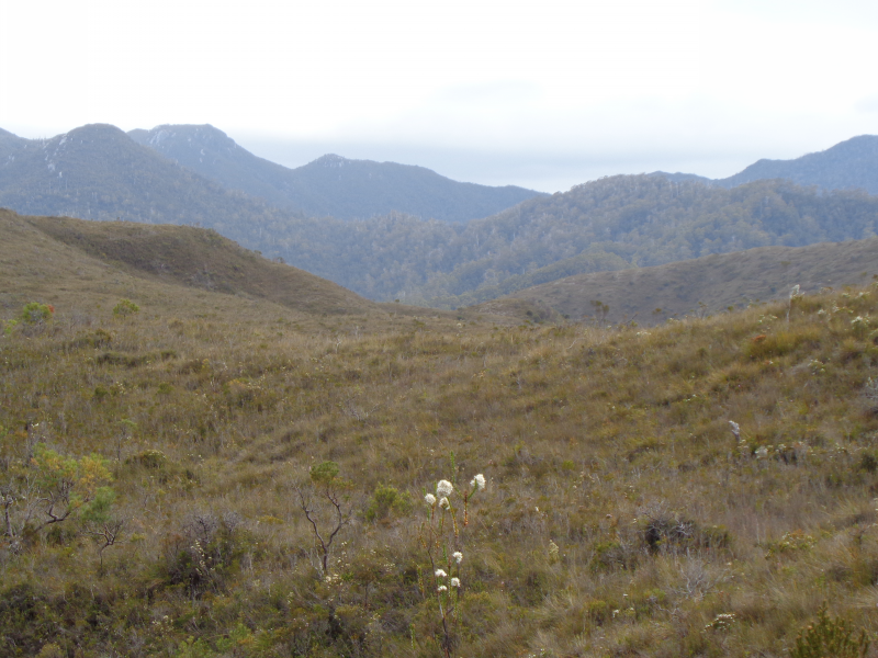
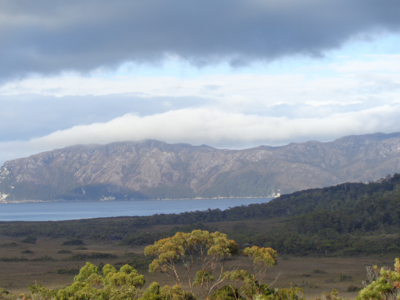
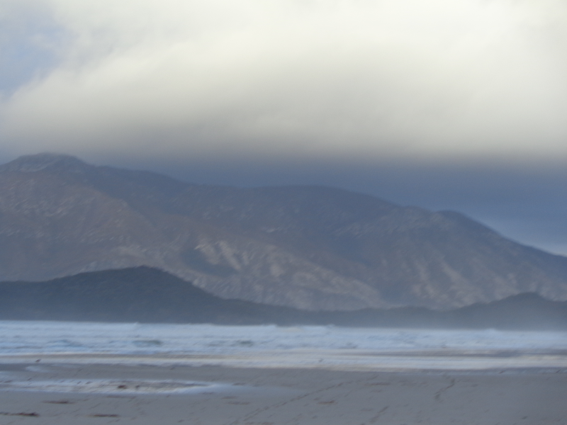
Once at the top, the views are breathtaking with fantastic views of the Southwest National Park including Arthurs Range and Federation Peak. To the east, the rest of the South Coast Track is laid out with the South Coast Range yet to be crossed in the distance. Ironbound High Camp is located just beyond the summit point.
The descent is steep and arduous with lots of mud!
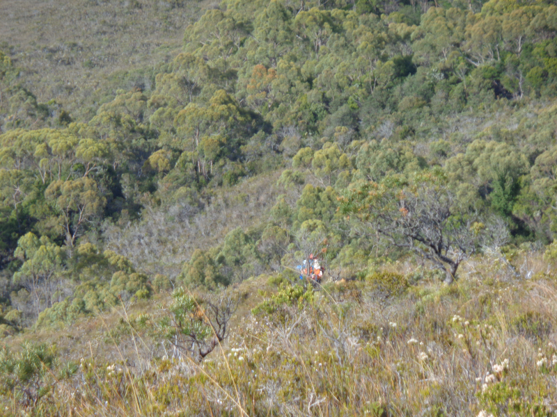
It is another 7km to Little Deadmans Bay. On the descent your surroundings change dramatically, entering some of the thickest rainforest walking conditions in Tasmania. Careful stepping is required to navigate the labyrinth of muddy buttress roots underfoot. After another hour of walking the trail finally arrives at Ironbound Low Camp, just above the coast. For the next 4km going is much easier and flatter, eventually arriving at Little Deadmans Bay camping area.
Little Deadmans Bay to Osmiridium Beach (via Prion Beach) 15km, 6-7 hours
In comparison with the previous day, today’s trek to Prion beach and Osmiridium Beach is much easier, although some challenges are faced thanks to the constant South Coast mud. It also includes a boat crossing at New River Lagoon.
Leaving Little Deadmans Bay the track returns to the plains and to the mud, the thickest yet. Deadmans Bay is reached next and the track continues along the beach for a short distance before heading inland across Menzies Bluff.
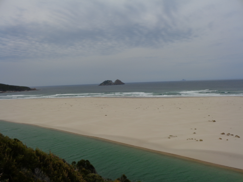
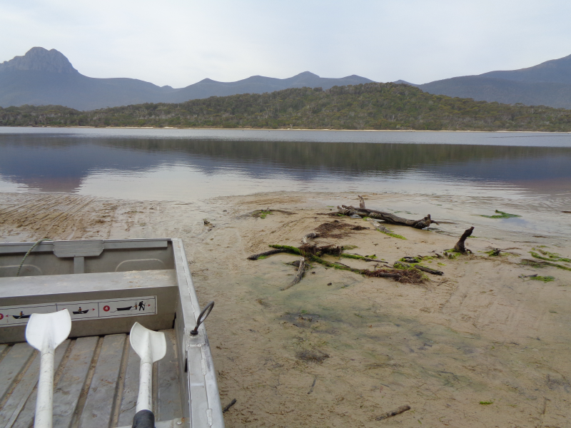
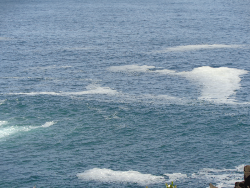
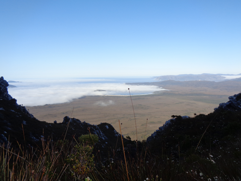
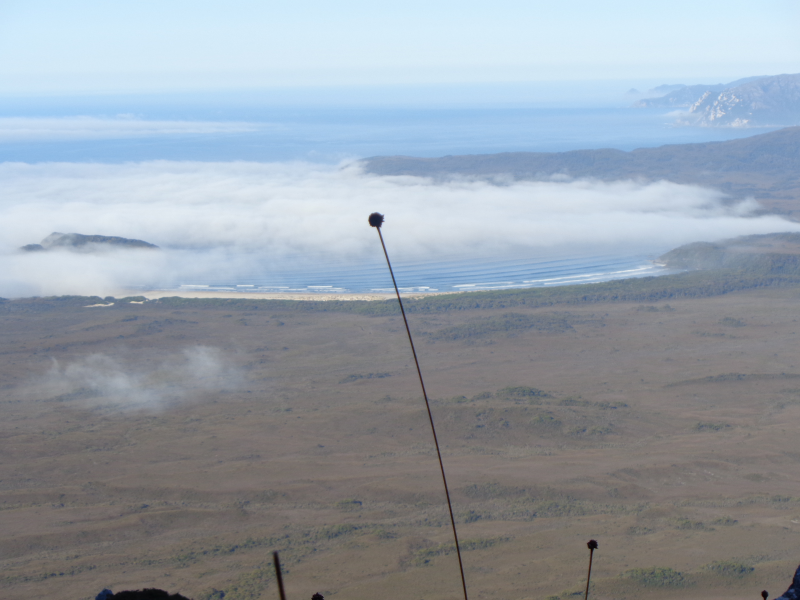
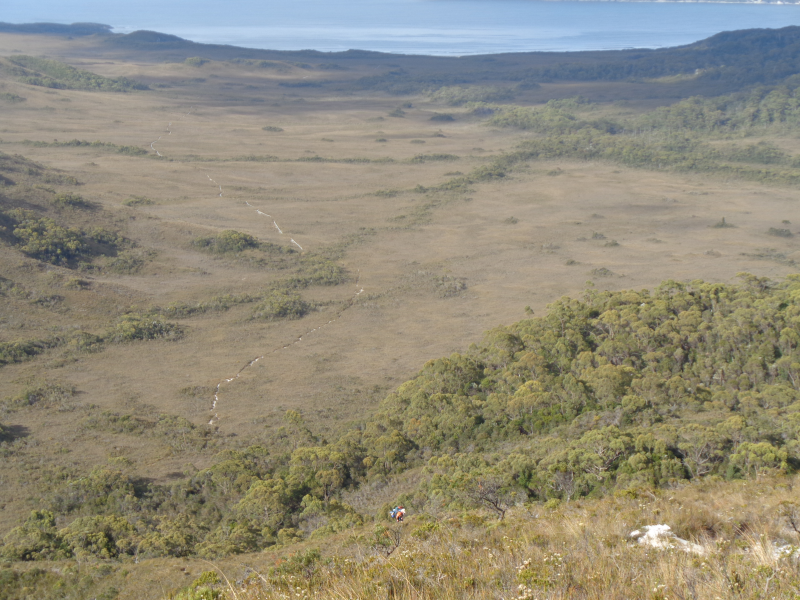
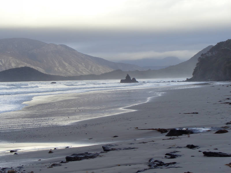
After battling the mud once again for an hour the trail opens up onto spectacular Prion Beach. From here on walking is much easier with only a 5km stroll along the beach required before coming to the New River Lagoon boat crossing. At each side of the Lagoon, there is a boat tied to allow passage from either side. In order to ensure this access, walkers must leave the boats where they were found. This requires multiple trips.
First row one boat across to the other side.
Tow the other boat back to the original side
Tie up one boat to the mooring post
Row the boat back to the other side and tie to the mooring post.
Once safely on the other side, the Prion Beach campsite is found nestled just beyond the tree line.
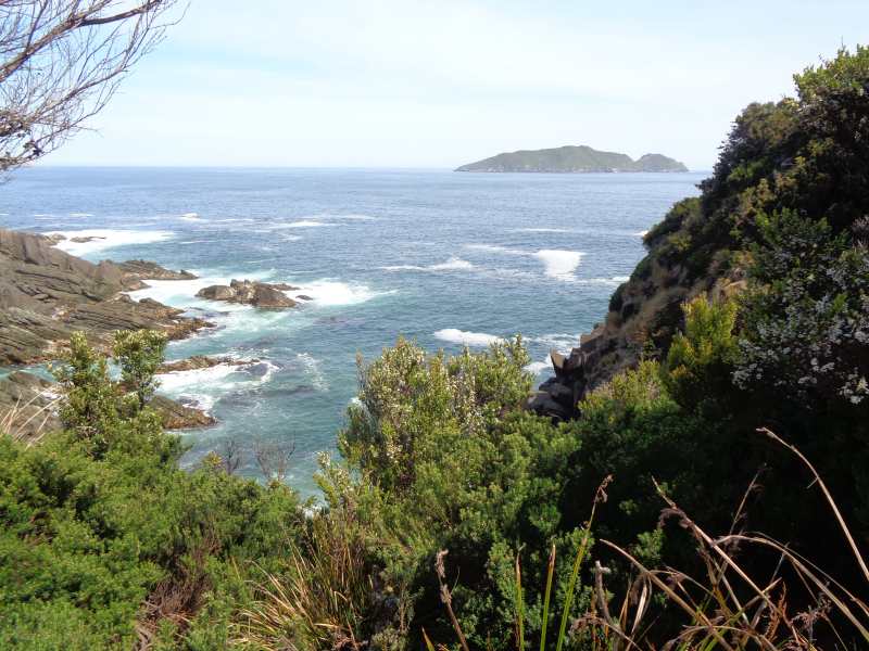
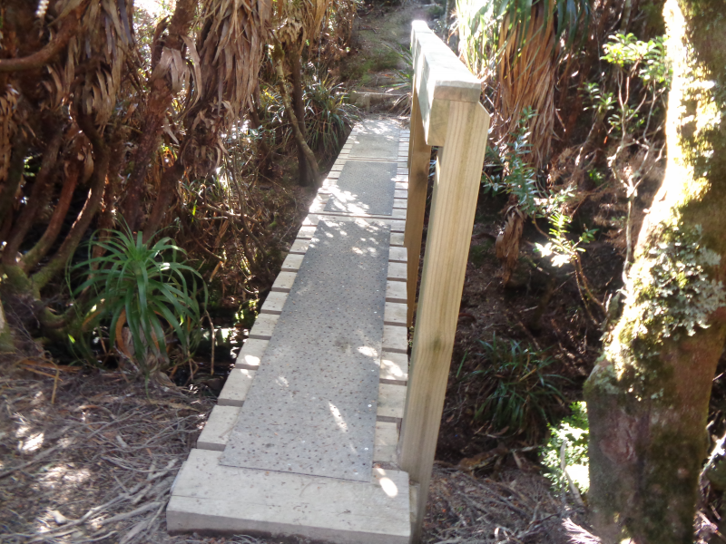
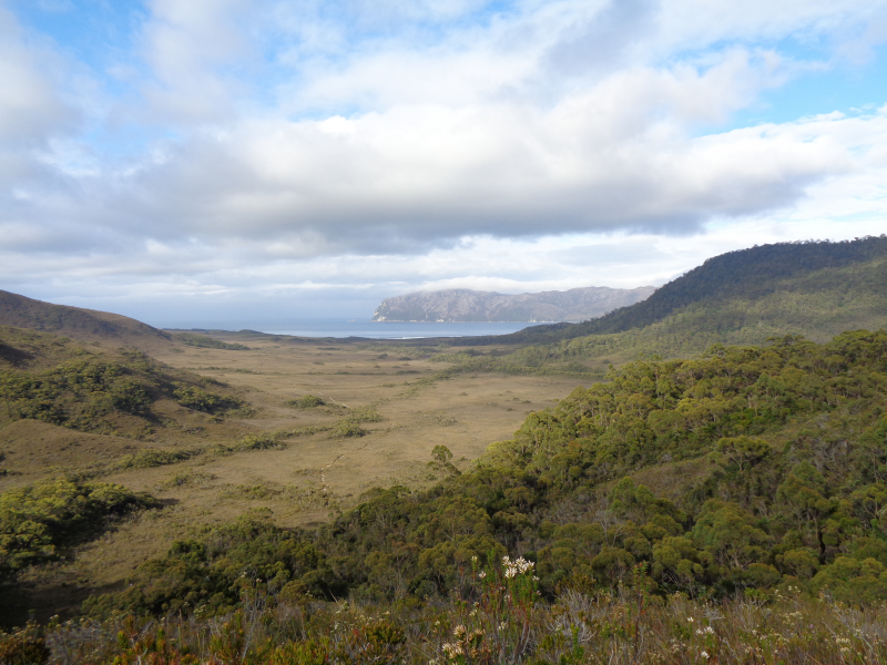
We follow the track at the back of the camp and after some initial climbs, the track reaches the top of the headland. You will find great views along the coastline in both directions. The track crosses Milford Creek via a newly constructed bridge. We continue to the turnoff to Osmiridium Beach and our camp for the night.
We head back to the main track, inland across the first of the South Cape Range headlands, passing through Eucalypt forests to Surprise Bay and eventually on to Granite Beach.
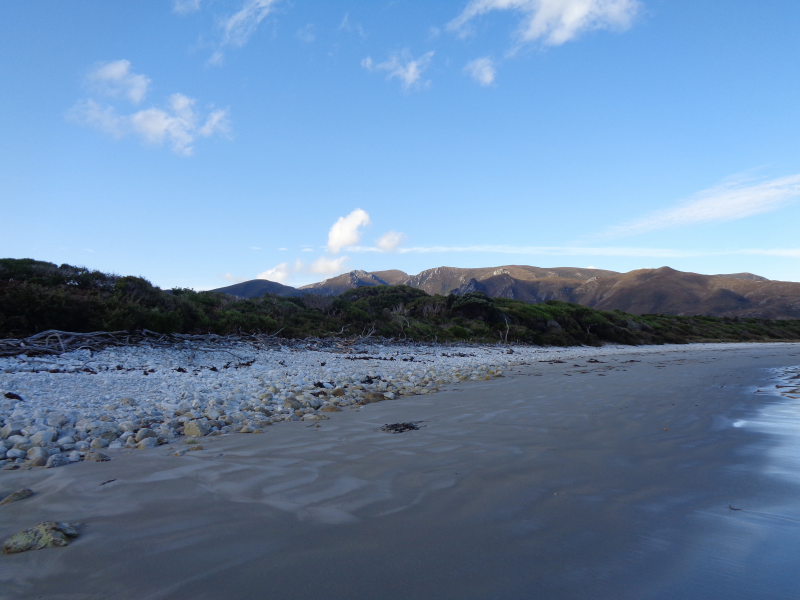
The track follows through the forest and boardwalk above muddy plains before finally descending to Surprise Bay. Surprise Bay has large rocky outcrops as you arrive at the beach. After a short stroll across the beach, the track passes Surprise Rivulet and climbs up the coastal cliff to the elevated Surprise Bay camping area. From here the trail heads inland again through scrub to Granite Beach 3km away at end of Shoemaker Bay.
Granite Beach is a mix of sand and large stones and careful footing is necessary as you make your way up the far end of the beach towards the campsite. At the end of the beach just below the camp, a fantastic waterfall running off the cliff’s edge is climbed to finish the day’s hike.
Leaving Granite Beach the track returns to the muddy marshes and slowly climbs to Flat Rock Plains on the South Cape Range. Walking here is difficult due to the ever-present mud and care should always be taken.
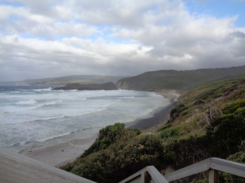
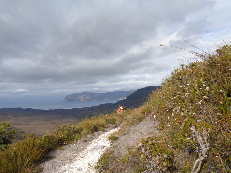
After a few hours of walking the South Cape Range, the summit is reached. From here the view back towards the Ironbound Range is rewarding, highlighting the area successfully passed in the previous days. As you descend again walking is slow due to the thick overgrown forest and deep muddy sections. Eventually, after another small climb and descent, South Cape Rivulet appears through the tree line. Once the shallow rivulet has been waded, camp can be made in under the tree cover further up the rivulet.
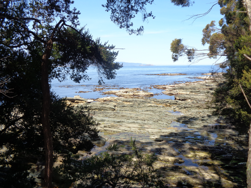
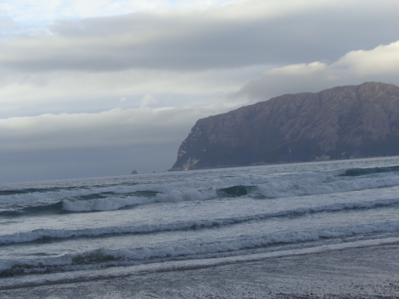
From just before the end of the beach at South Cape Rivulet the track heads inland and climbs to the cliff top headland of Coal Bluffs before slowly descending through thick muddy forest to South Cape Bay. As you approach South Cape Bay, Lion Rock is the first landmark to be spotted through the trees, its impressive figure signposts the beginning of South Cape Beach.
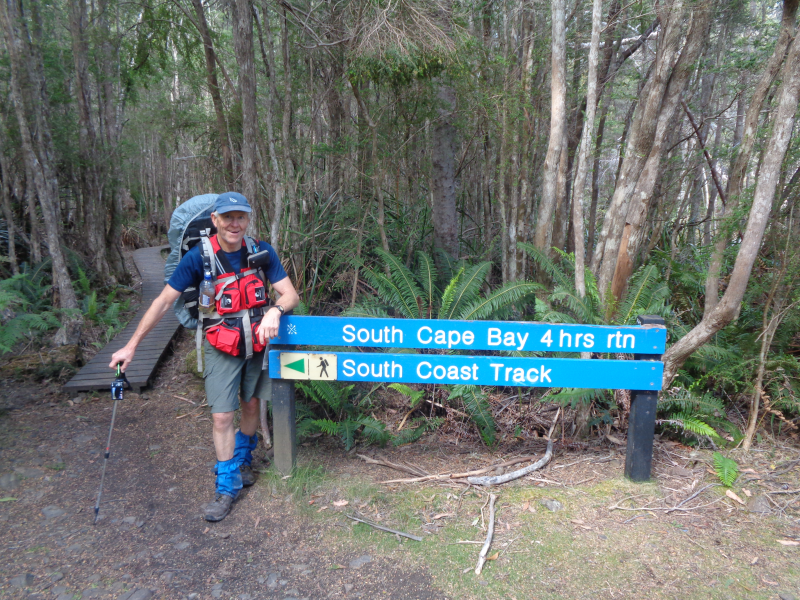
Once safely down on the beach the track continues up the cliff on the opposite end. After conquering the steep staircase the knowledge that there will be no more climbs can be celebrated. From here it’s a 3-hour stroll through Eucalypt forest and across duck boarded marshlands to Cockle Creek and the end of the South Coast Track.
Bus pick up is at the Ranger Station on your right as you exit the track.
Inclusions
Inclusions
Pick up from Hobart airport (travel needs to be co-ordinated)
Flight via Par Avion to Melaleuca
Two tour guides
Gear can be supplied to you upon request such as tent, back pack, sleeping mat and more.
Cooking by tour guides
Trek fees
Transport from Cockle Creek to Hobart to your hotel
Guides have satellite phone and PLB
A Wild Trek quick dry T shirt
Exclusions
Exclusions
Hotel accommodation at Hobart at conclusion of trek – contact us if you wish to organise accommodation in Hobart
Your food on the trek – breakfast, lunch, and dinner, plus any snacks you may require as per your required gear list
Travel Insurance
Air fares to Hobart
Air fares from Hobart
Costs
Costs
$2300. Please specify your preferred month on our enquiry form – December to May only.
Tour Dates
This is an on demand trek, and dates are available in the summer months only (December to March).
Please use our enquiry form to express an interest
What you need to Bring
A backpack of at least 65 litre – 80 litre capacity. A back pack can be supplied to you upon request.
A sleeping mat (if possible under 500gms). A sleeping mat can be provided to you upon request.
A lightweight tent, preferably with room enough for you and your pack. Weight not to exceed 2kg. A tent can be supplied to you upon request.
A rain jacket – lightweight, breathable
Rain trousers – lightweight
A warm jacket for the cold nights
Thermal top and bottom
2 T-shirts – quick dry
Trousers for a change of clothes at night
Walking shorts
Walking socks – at least 3 pair
Gaiters
Gloves
Beanie
Sun hat
Underwear, and swimmers as an option
Walking boots
Crocs or lightweight sandals
Sleeping bag – 3 season
Head torch with spare batteries
Water bottles and/or bladder
Garbage bags for storage (or dry bags)
Small pack towel
Cutlery – cup, bowl, spoon, knife, fork
Your own personal food stock – lightweight, dehydrated and/or freeze dried – Breakfast, lunch & dinner each day, plus snacks if required. We can advise and help with meal selection. The two guides will cook for you, so no need to bring cooking stove and fuel unless you prefer to do so.


